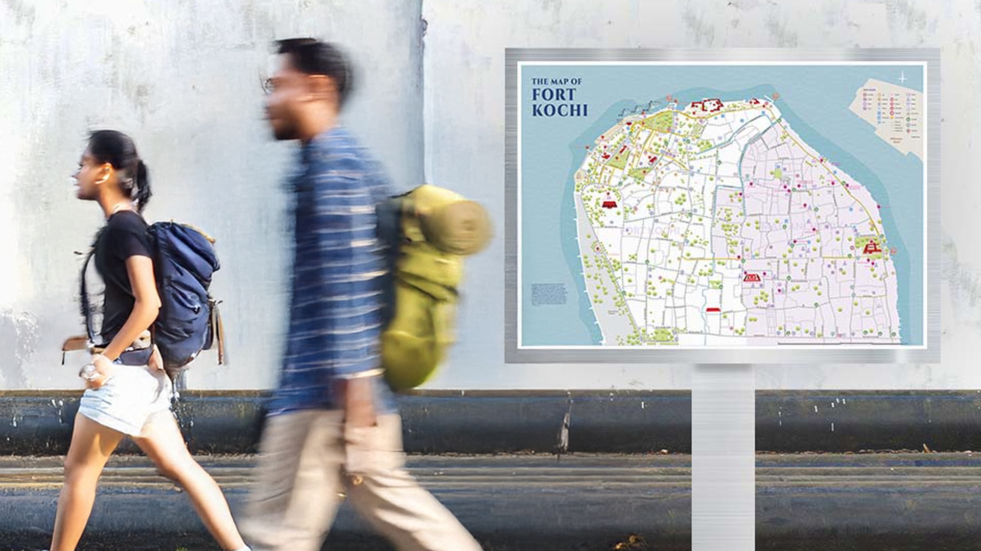
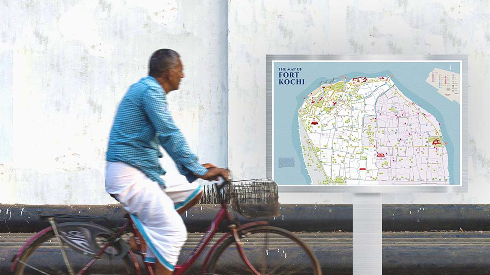
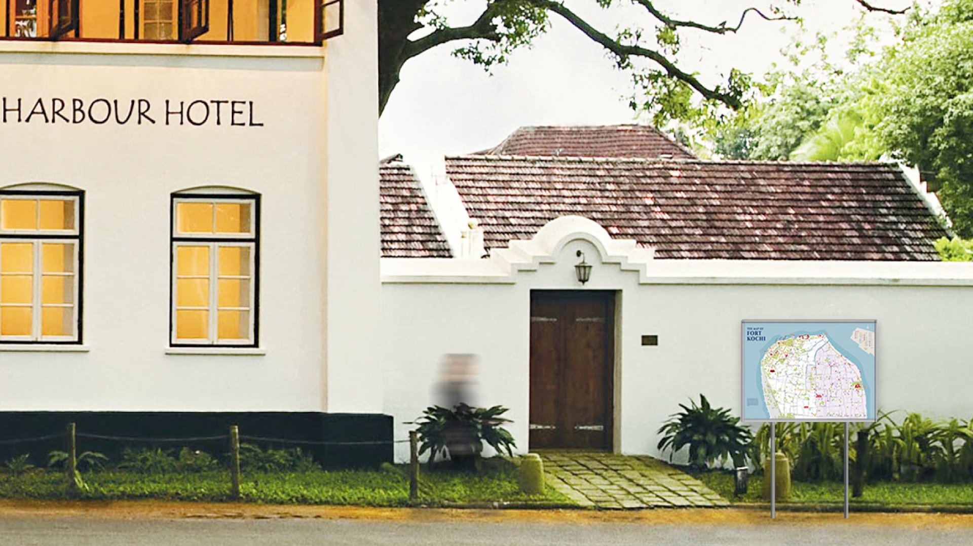
Map design for the tourist circuit in Fort Kochi, Kerala.
An illustrated and engaging map of the Fort Kochi area showcasing tourist attractions and amenities.
CLIENT: THE URBAN LAB, AHMEDABAD
YEAR OF COMPLETION: 2020
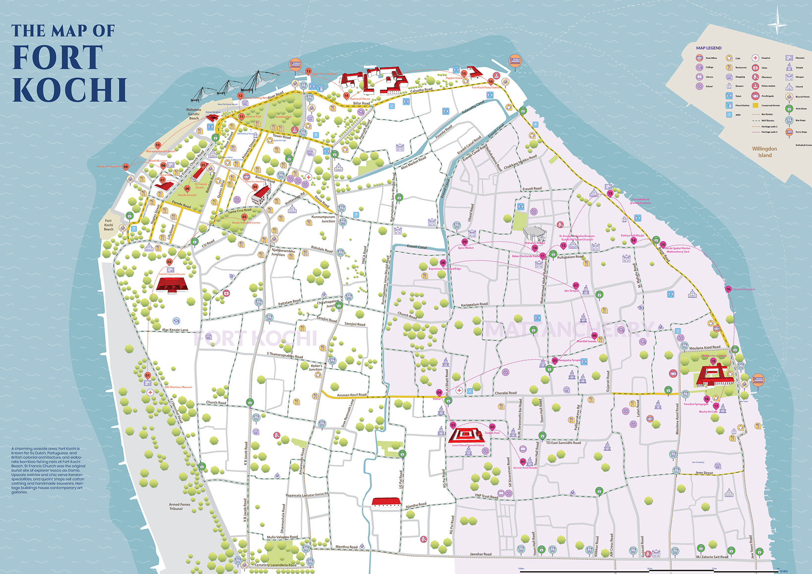
In 2019, we created the graphics and information design of a detailed tourism map of Fort Kochi area in Ernakulam, Kerala, for The Urban Lab. A vibrant historical and cultural precinct of the city, Fort Kochi is a picturesque coastal area which is dotted with Dutch, Portuguese and British colonial architecture, as well as elaborate bamboo fishing nets by the beachside. The area is a popular tourist destination for local and foreign tourists and offers a multi-cultural experience of food, music, art and architecture. The map design was aimed at highlighting these and many other aspects of the area that were being planned at the urban scale.
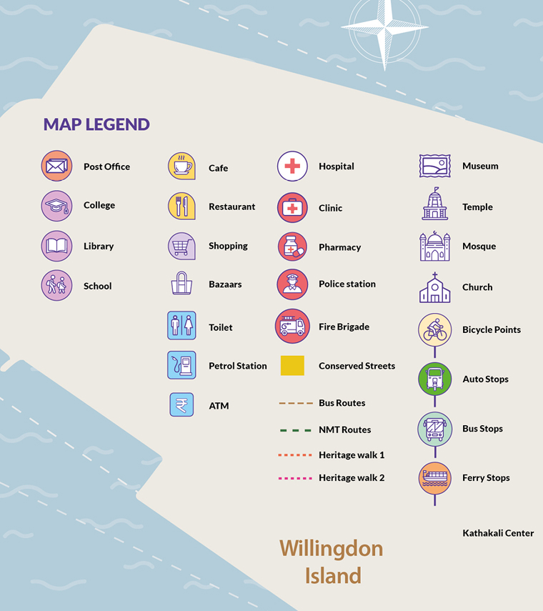
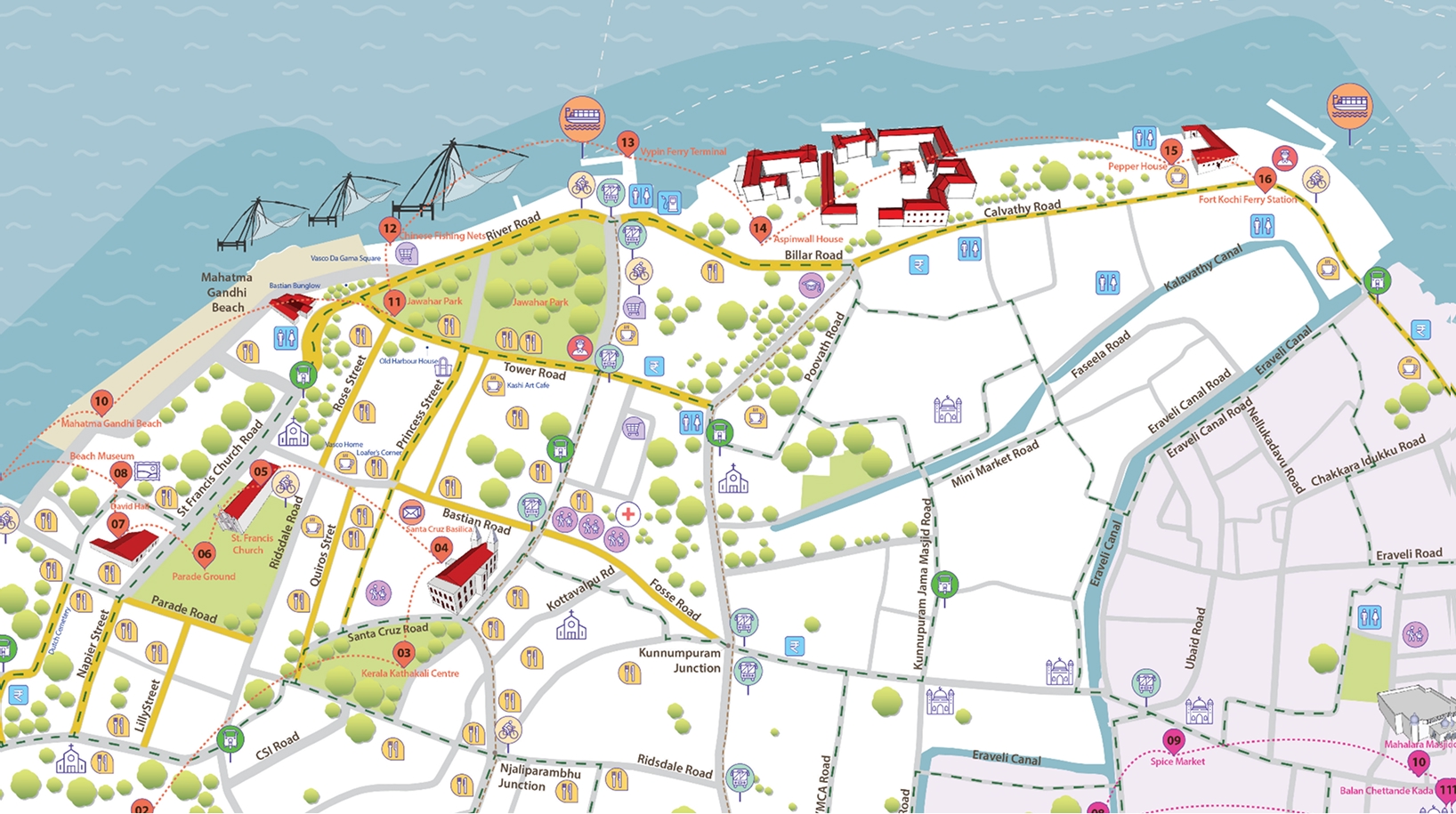
Our map for the Fort Kochi and Mattancherry regions codes in layers of information – non-motorised routes, roadways, bus routes, auto and ferry stops, landmark buildings, emergency services, amenities and entertainment and dining options. It offers visitors two detailed Heritage Walks interspersed with rest-stops and with nearby amenities.
The fine detailing of the Fort Kochi map offers visitors an overview of the region as well as a granular journey through historic streets, heritage landmarks, markets and cultural hotspots, allowing visitors to craft a personalised travel plan with ease.